مسار الطريق على الخريطة
Skalvių st.
→
Stotis (A)
(apylanka per Šeimyniškių g.)
(apylanka per Šeimyniškių g.)
(nukreipimas)
(nukreipimas)
(iš parko)
(iš parko)
(į parką)
(į parką)
(į parką; apyl. per Šeimyniškių g.)
Skalvių st. → Stotis (A)
Stotis (A) → Skalvių st. (išlaipinimas)
Skalvių st. → Stotis (A)
(apylanka per Šeimyniškių g.)
Stotis (A) → Skalvių st. (išlaipinimas)
(apylanka per Šeimyniškių g.)
Skalvių st. → Pasakų parkas
(nukreipimas)
Pasakų parkas → Skalvių st. (išlaipinimas)
(nukreipimas)
Troleibusų parkas → Stotis (A)
(iš parko)
Kaukaro st. → Skalvių st. (išlaipinimas)
(iš parko)
Skalvių st. → Viršilų st.
(į parką)
Stotis (A) → Viršilų st.
(į parką)
Stotis (A) → Viršilų st.
(į parką; apyl. per Šeimyniškių g.)
Service Directions
Skalvių st. → Stotis (A)
Stotis (A) → Skalvių st. (išlaipinimas)
See more trips
Skalvių st. → Stotis (A)
(apylanka per Šeimyniškių g.)
Stotis (A) → Skalvių st. (išlaipinimas)
(apylanka per Šeimyniškių g.)
Skalvių st. → Pasakų parkas
(nukreipimas)
Pasakų parkas → Skalvių st. (išlaipinimas)
(nukreipimas)
Troleibusų parkas → Stotis (A)
(iš parko)
Kaukaro st. → Skalvių st. (išlaipinimas)
(iš parko)
Skalvių st. → Viršilų st.
(į parką)
Stotis (A) → Viršilų st.
(į parką)
Stotis (A) → Viršilų st.
(į parką; apyl. per Šeimyniškių g.)
مدينة:
Vilnius
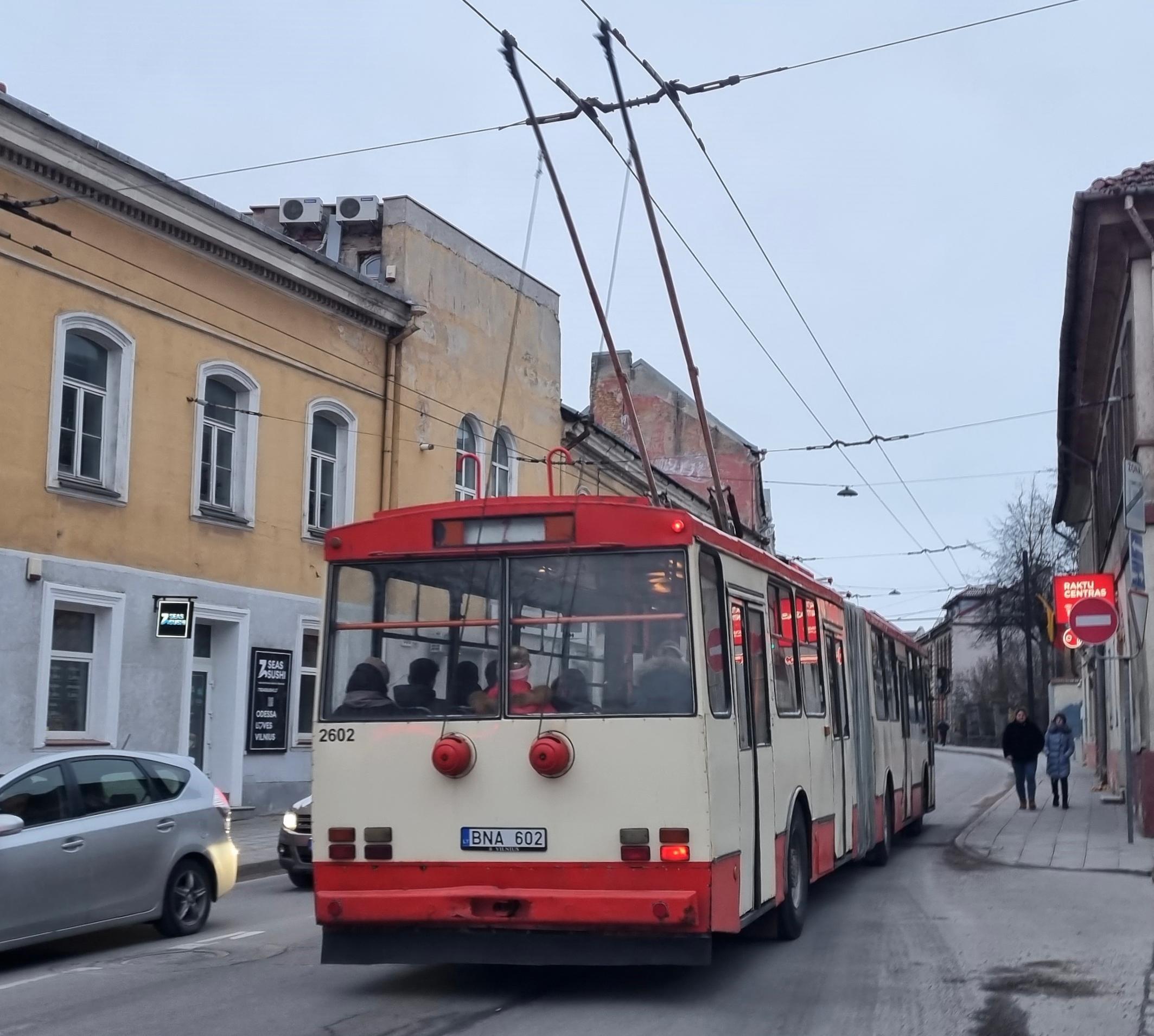
نوع وعدد النقل:
حافلات الترولي 7
أجرة:
1 €
يمر على الشوارع:
Pašilaičiai - Justiniškių g. - Laisvės pr. - T. Narbuto g. - Sėlių g. - Kęstučio g. - Liubarto g. - Liubarto tiltas - J. Jasinskio g. - Pamėnkalnio g. - Pylimo g. - (pirmyn: Gėlių g.) - Sodų g. - Stoties g. - Stotis
وكالة العبور:
UAB „Vilniaus viešasis transportas“
معلومات اضافية:
إحصاءات الطريق:
The length of the trip line №1: 11.12 كم
مناطق التوقف: 23
مناطق التوقف: 23
The length of the trip line №2: 10.9 كم
مناطق التوقف: 21
مناطق التوقف: 21
The length of the trip line №3: 14.77 كم
مناطق التوقف: 29
مناطق التوقف: 29
The length of the trip line №4: 14.68 كم
مناطق التوقف: 28
مناطق التوقف: 28
The length of the trip line №5: 6.58 كم
مناطق التوقف: 16
مناطق التوقف: 16
The length of the trip line №6: 7.13 كم
مناطق التوقف: 14
مناطق التوقف: 14
The length of the trip line №7: 7.41 كم
مناطق التوقف: 15
مناطق التوقف: 15
The length of the trip line №8: 3.29 كم
مناطق التوقف: 7
مناطق التوقف: 7
The length of the trip line №9: 3.74 كم
مناطق التوقف: 9
مناطق التوقف: 9
The length of the trip line №10: 7.3 كم
مناطق التوقف: 15
مناطق التوقف: 15
The length of the trip line №11: 11.09 كم
مناطق التوقف: 22
مناطق التوقف: 22
آخر تعديل :
عدل هذا الطريقهل وجدت خطأ؟ يرجى تصحيحه في دقيقتين.
مناطق التوقف: Skalvių st. → Stotis (A)
مناطق التوقف: Stotis (A) → Skalvių st. (išlaipinimas)